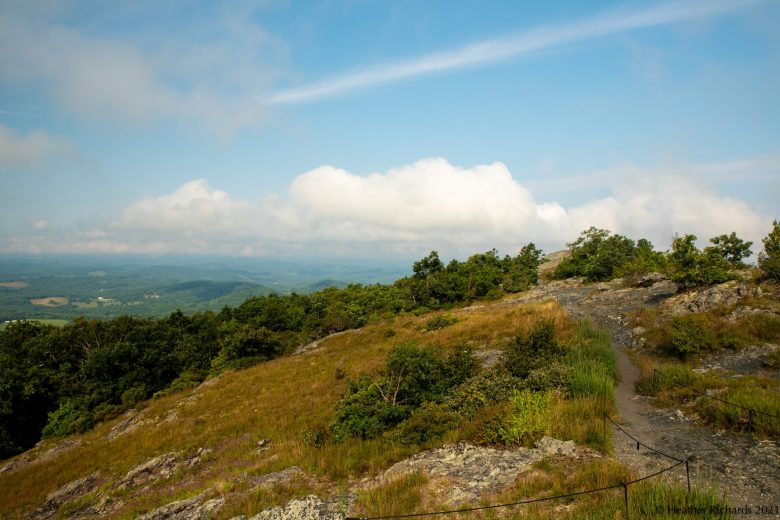

Drought is a dry subject, one that can’t be spun in too many interesting ways, but one we must revisit as we chronicle the current state of our region’s weather.
By the numerical algorithms employed by the U.S. Drought Monitor, various stages of dryness continue for that part of Cardinal News’ Southwest and Southside Virginia coverage area along and east of the Blue Ridge.
· Enter the Cardinal Weather snowfall prediction contest. Entries will be taken through Nov. 29. For more information, click here.
Drought has generally been considered relieved to the west for a few weeks, but those areas aren’t super soggy, either, and it wouldn’t take many more weeks of the kind of weather pattern we’ve had lately to spread the yellow and brown colors back over those areas again.

This week’s weather, dominated by stable high pressure, is expected to continue with mild to warm afternoons, 60s and maybe some lower 70s highs, with cool to cold mornings in the 30s and 40s, and no rain at least through Saturday.
There is some potential for a coastal system, perhaps even with tropical or subtropical development, that might stir up some showers late Saturday into Sunday, but this is iffy as of this writing.
Dryness has been years in the making
Drought is not something that has just cropped up out of nowhere this year.
Persistent and recurring dryness has been the second biggest weather story of the year in both our 2024 and 2025 recaps. Dryness, here or elsewhere, also figured into the top three weather stories of our 2023 look-back.
Unless there is something meteorologically extraordinary in the last month and a half of this calendar year — say, a major snowstorm, or some kind of flash flood or tornado-producing El Niño charged storm system — drought is very likely to be the top weather story for our region in 2026.

While some places can trace the current string of dry months all the way back to summer 2025, last November seemed to be when widespread, significant dryness really got going across our region.
November 2025 failed to bring an inch of rain to any of the National Weather Service’s four main climate stations, though Blacksburg and Lynchburg were about as close as they could be, with 0.99 and 0.98 inch, respectively. Roanoke’s 0.52 inch and Danville’s 0.54 ranked as the seventh driest November in over a century of records at both locations.
Since then, the year running Nov. 1 to Oct. 31 is Danville’s driest such period on record (24.46 inches), Lynchburg’s sixth driest (27.57 inches), Roanoke’s 11th driest (30.59 inches), and Blacksburg 19th driest (35.70 inches) in over a century of recorded weather data (Blacksburg and Danville each had about 90 years total excluding those with 10 or more days of missing rainfall data).
This largely explains why Danville and areas of Southside to the east are in the worst levels of drought, with somewhat lesser dryness at Roanoke and Lynchburg, and, at least for now, Blacksburg not considered to be in drought.
Ironically, through 17 days of this November, Danville has the most rainfall with 1.30 inches, the beneficiary of some heavier rain showers that moved out of North Carolina on Nov. 6.
Roanoke has had only 0.42 inch so far in November, Blacksburg 0.62 inch, and Lynchburg 0.78 inch, so equaling or exceeding last November’s dryness is still on the table — unless something wetter crops up around Thanksgiving.

Possible Thanksgiving weekend storminess?
There are strong signals of a deep central and eastern jet stream trough developing near the Thanksgiving weekend that might spin up one or more wet storm systems.
How strong this storm or storms might be, where exactly the systems track, and whether or not it’s possible that there could be enough cold air for wintry implications somewhere (probably not for us, at least early in the Thanksgiving weekend) remain to be sorted out.
We should know more by next week’s Cardinal Weather column (which will post on Tuesday evening — and I may get into my winter forecast in that one also).
Inclement weather near Thanksgiving presents its own issues for both road and air travel, with air travel having had plenty of recent non-weather challenges that hopefully won’t be repeated and augmented by any storminess.
But there are also many people who tell me about their dried-up wells and ponds who would be very thankful for turkey-time rainfall.
A bigger question is whether the El Niño “rain train” might finally leave the station about Thanksgiving weekend, with more frequent wet storms into December.
A lot of the expected Northern Hemisphere atmospheric structure expected from a strong El Niño is in place, with a flood of mild Pacific air keeping Arctic intrusions mostly at bay, but it hasn’t manifested in a richly moist southern branch of the jet stream just yet. We are starting to see some of the rainy and snowy West Coast storms, though.
Another big question is how deeply and often can Arctic air punch into any moist flow that develops, or also, how often will atmospheric dynamics of upper-level storms be able to lower freezing levels to the point that snow develops on the back sides of passing surface low-pressure systems.
That’s a subject we’ll be diving into more in weeks ahead — and you can take your own dive into the Cardinal Weather snowfall prediction contest.
Journalist Kevin Myatt has been writing about weather for 20 years. His weekly column, appearing on Wednesdays, is sponsored by Oakey’s, a family-run, locally-owned funeral home with locations throughout the Roanoke Valley.
To submit a photo, send it to weather@cardinalnews.org or tweet it to @CardinalNewsVa or @KevinMyattWx. Please identify the location and date of the photo with each submission.
Sign up for his weekly newsletter: