

For more on redistricting, see our Voter Guide.
When two court-appointed mapmakers set out in 2021 to draw new congressional lines for Virginia, they first had to agree on the criteria they would use.
By law, they weren’t supposed to take into account political considerations — or even where incumbents lived. Although the California-based professor Bernard Grofman and the national commentator Sean Trende had been nominated by different parties, they quickly agreed on one thing: Mountains matter.
In a memorandum to the Virginia Supreme Court explaining why they’d drawn the maps the way they had, Grofman (the Democratic nominee) and Trende (the Republican one) reviewed the legal requirements they had been directed to take into account, such as various court rulings about not diminishing the ability of racial minorities to elect their preferred candidates.
Another provision required that districts reflect “communities of interest.” State law defined that to mean “a neighborhood or any geographically defined group of people living in an area who share similar social, cultural, and economic interests” — but not necessarily the same politics.
Grofman and Trende noted that while courts have been reluctant to define “communities of interest” too precisely, the U.S. Supreme Court has previously listed “shared broadcast and print media, public transport infrastructure, and institutions such as schools and churches” as examples of a community of interest.
To that, the mapmakers added one more: “In particular, we were mindful of the Blue Ridge Mountains as an important geographic divider in Virginia’s history,” they wrote. “We also considered the course of the Shenandoah Valley (served largely by I-81), the federal definition of Appalachia, the historic importance of Southside Virginia and the Piedmont region in general and the Fall Line as important geographic markers. We also were mindful of the Commonwealth’s major metropolitan areas and the travel arteries that feed them: Northern Virginia, greater Richmond, and the Hampton Roads area, as defined both by the United States Census Bureau and major media markets.”
Once Grofman and Trende had settled on those criteria, much of the mapmaking was easy. They resolved not to have districts cross the Blue Ridge Mountains if they could help it, although the numbers came up short of being able to put two districts fully west of the Blue Ridge. So, which western district would cross the mountains — the northern one (the current 6th) or the southern one (the current 9th)?
“We considered having a district that crossed the Blue Ridge in Prince William County (along I-66) as well as one that crossed near Charlottesville (along I-64),” the mapmakers wrote. “We observed, however, that the entire Valley of Virginia from Winchester to Roanoke fit almost perfectly within a district bordered by the Blue Ridge, and that the counties west of the Blue Ridge that remained constituted almost all of the counties in Virginia classified as part of Appalachia by the U.S. Government. We also examined historical maps of Virginia and noted that before the Civil War, the Blue Ridge was typically utilized to divide Virginia’s districts, although districts sometimes crossed it to the south.”
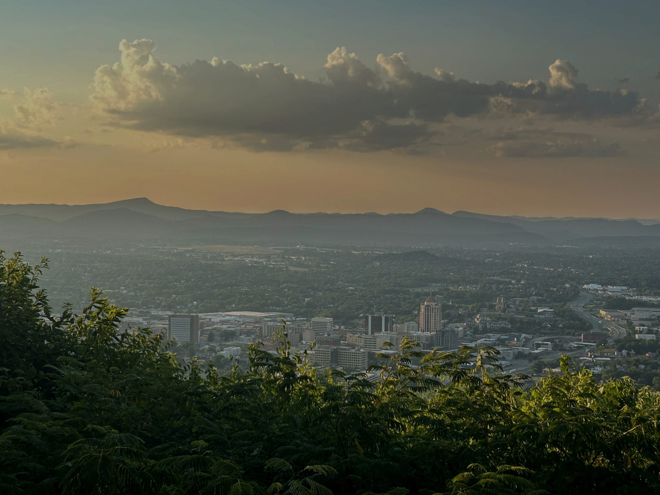
That’s why the 6th District they drew followed I-81 from Winchester to Roanoke, while the 9th spilled over the Blue Ridge to pick up some localities to the east: Patrick County, Henry County, Martinsville, Franklin County and part of Bedford County.


The mapmakers who drew the proposed map that would go into effect if voters approve a constitutional amendment allowing redistricting felt bound by no such criteria. Their motive was purely a political one, to draw as many Democratic-leaning districts as possible — ideally knocking out four of the state’s five Republican members of the U.S. House to turn the state’s congressional delegation from 6-5 Democratic to 10-1 Democratic.
We’ll find out April 21 whether Virginia voters think that’s a good thing or not. For the “yes” side in that referendum: This gerrymander is necessary to counter what some Republican-run states are doing to redraw their maps to squeeze out Democrats. For the “no” side: Just because other states are gerrymandering districts doesn’t mean we have to.
Before we abandon the current map, let’s at least review why that map was drawn the way it was — and how the new map would differ. That may not matter one whit to some partisans, but the differences are, at least, curious and potentially instructive.
Let’s start with those mountains. As noted, the current map has only one district cross the Blue Ridge — and even then, some of the localities it picks up are officially considered part of Appalachia, just like the ones in the 9th District west of the mountains.
The proposed map would have five districts cross the Blue Ridge, almost half of the 11 districts in the state. That mountain-crossing is key to achieving the new map’s political goals. The Shenandoah Valley is a deeply conservative area. The goal here is to chop up that Republican vote and redistribute the pieces into elongated districts emanating out of Northern Virginia, thus effectively “burying” the valley’s Republican vote into Democratic-dominated districts from Northern Virginia.
That actually violates two principles involved in the current map: respecting mountains, but also metro areas. The current map has three districts wholly in Northern Virginia (the 8th, 10th and 11th). To create the desired political outcomes in the proposed map, there are five districts dominated by Northern Virginia, but with Republican-voting rural areas thrown in.
The same thing happens to Southside, just on a smaller scale. The Republican-voting rural region, most of which is currently in a single district (the 5th), would get split into two districts, both dominated by Richmond.
The current map aimed for a certain amount of homogeneity — purely Northern Virginia districts or largely rural districts. The proposed map aims instead for preferred political outcomes.
This raises a question about just what constitutes a “community of interest,” a phrase which is often used in redistricting but which is poorly defined by courts, perhaps intentionally so. State law says “a ‘community of interest’ does not include a community based upon political affiliation or relationship with a political party, elected official, or candidate for office.”
Got questions about redistricting?
Let’s hear ’em. I’m not looking for a debate, looking instead for fact-based questions we can answer. Submit your questions here.
The immediate effect of that here is bad for Republicans, because they can’t argue that a Republican community of interest is being diluted in a Democratic-dominated district. There is, though, an argument that rural interests in the Shenandoah Valley and Southside are being split up and minimized within urban-based districts. Ditto the rural areas in the counties along the Chesapeake Bay that would, under the new map, find themselves in a district with Northern Virginia — and outvoted by Northern Virginia. (You can see the political dynamics of each of the proposed districts in a previous column.)
One of the key court rulings that dealt with “communities of interest” was the 1996 U.S. Supreme Court ruling in the case of Bush v. Vera. The case mostly dealt with whether it was permissible to draw weirdly shaped districts purely for racial reasons. The ruling by Justice Sandra Day O’Connor said no, and touched on what constitutes a “community of interest.” She referred to “shared broadcast and print media, public transport infrastructure, and institutions such as schools and churches.”
Some of those criteria seem difficult, if not impossible, to apply here. Virginia’s congressional districts are too big geographically for shared schools and churches to be a factor — those would work at a state legislative level, perhaps, but not a congressional level. There’s very little public transport in rural areas, unless you want to try to draw lines around Amtrak routes, so that’s not a useful guide. Even the concept of “shared broadcast and print media” — which made perfectly good sense in 1996 — seems quaint three decades later. O’Connor wrote those words when news media generally fell along geographic lines — and before social media. Today’s print media is but a skeleton of what it was in 1996; people’s media consumption now often falls along ideological lines rather than geographic ones.

The so-called “lobster district” that is the proposed 7th District has acquired its colorful nickname because of its crustacean-like shape. As a political entity, it’s a strange-looking creation whose tail is in Arlington County and whose claws are in the Shenandoah Valley and Southside. Under the 1996 standard, there would be little shared media in this district because print media was governed by the physical limits of how far you could truck a newspaper every morning and the economic limits of where you could sell it. Today, though, there’s absolutely nothing to stop voters in Arlington and Augusta from consuming the same media if they choose to. (We at Cardinal define our “community of interest” as Southwest and Southside, two mostly rural regions that are having to reinvent their economies, but we’re constantly amazed when we find we have readers from all over the state.) You could make a case that today there are fewer geographic communities of interest and far more digital ones. The business of drawing new lines, even with neutral intent, is a geographic exercise, but our lives are becoming less geographical than they were before.
One counterweight to that: Over-the-air television markets haven’t changed. I grew up in the right claw of that lobster. Most of the stations we watched came out of Washington. While over-the-air stations now must compete with all the others in a cable package or a satellite service, by the standards of a TV market, the lobster district makes sense, even if it does have that weird shape.
So what are communities of interest today? Good question.
Is it economics? Maybe, although as I pointed out in a previous column, most of these new districts are more economically diverse than the current ones — a consequence of rural areas getting combined with urban ones. The word “diversity” may not fully capture what’s happening here, though. Do the agriculture-based economies of Shenandoah Valley counties constitute a community of interest? If so, then the current 6th District map, which includes all of them, reflects that community of interest — the proposed map would not because it splits the Shenandoah Valley across five different districts.
Under the new map, the state’s top agriculture county (Rockingham County) might find itself represented by two House members from Northern Virginia and a third from somewhere else. On the other hand, for the past four decades, Rockingham County has been represented by House members from the Roanoke Valley, which isn’t exactly rural, either. Still, the current 6th does combine all the ag-dominated counties of the Shenandoah Valley into a single district where they have more influence than they will in any of these Northern Virginia-based districts. (Two of the past three 6th District representatives served on the House Agriculture Committee, in recognition of the ag industry’s importance in their district.) The ag economy is a community of interest that is respected in the current map but not the proposed one.

On the other hand, you could make a case that, however ungainly the new map is in appearance, at least one of these proposed districts has a greater community of interest than the ones before it. That would be the proposed 6th District, the so-called “university district” because it seeks to unite college towns from Radford to Charlottesville to Harrisonburg — a series of blue-voting dots in an otherwise red sea of votes in that part of the state. Voters in Blacksburg (the Democratic ones anyway) may well feel more affinity with voters in Harrisonburg and even Charlottesville than with the voters in the 80%-plus Republican counties of Southwest Virginia with whom they currently share a district. Of course, the voters in the Republican rural areas that serve as connecting tissue between those college towns may not see things that way at all.
Regardless of how you stand on redistricting, now you know how the current lines were drawn. We’ll find out April 21 whether voters think that criteria, and the maps they produce, should change.
I’ll have an update on early voting in the special election, along with other political news and analysis, in this week’s edition of West of the Capital, our weekly political newsletter that goes out Friday afternoons. Sign up here: