


For perpetuity, the name “Helene” will be attached to memories of that terrible patch of weather in the Appalachians last fall.
But the same thing doesn’t happen around the name “Juan” from November 1985, even though by now it is widely known a hurricane by that name contributed to the deadly and destructive downpours and inundation 40 years ago this week.
More often, it is simply called the “Flood of ’85,” sometimes the “Election Day Flood,” as voters were choosing a governor and electing other statewide and local offices the day after the heaviest rains, when rivers were rising to record and near-record levels, sometimes interrupting the voting. (See how the flood impacted the election that year here.)
But whatever we call it, the flooding of early November 1985 stands tall amid the list of regional disasters, still the worst of the worst for some areas such as the Roanoke Valley, with damaging flooding common across much of Cardinal News’ Southwest and Southside Virginia region and beyond.

Juan doesn’t get all the blame
There are legitimate meteorological reasons why we don’t regularly call 1985’s inundation the “Hurricane Juan flood.”
Unlike with Hurricane Helene and some other high-end flooding episodes related to tropical systems like Hurricane Michael in 2018, Hurricane Jeanne in 2004, Hurricane Fran in 1996, etc., Hurricane Juan was no longer an easily recognizable tropical entity when it contributed to the historic flooding of Nov. 4-5, 1985. And what was left of Juan’s circulation center was not even close to our region when the worst downpours occurred.
Also unlike many other tropical encounters, there was no wind or tornado component to the 1985 event in our region, as there was with Helene last fall, Hurricane Hugo (wind) in 1989, and Hurricane Ivan (tornado outbreak) in 2004. Those atmospheric dynamics simply didn’t exist with the more diffuse tropical remnants.
Hurricane Juan was a Category 1 storm that did loop-de-loops along the Gulf Coast before it moved inland for good on Halloween near Pensacola, Florida. You will notice from official weather maps of the time that the circulation center of the former hurricane moved almost due northward toward the Great Lakes, not northeast toward Virginia.

Some of its tropical moisture was lifted northward and spun our direction, but the much-weakened low-pressure entity that had been the circulation center of Hurricane Juan was in Canada before the extreme flooding developed in Virginia on Nov. 4. In fact, Juan was declared fully dissipated as an extratropical low on Nov. 3.
Weather maps of the time show that Juan as an extratropical system had its most direct effect on our region on Nov. 1, the third of six consecutive days of rain that saturated the ground ahead of the intense Nov. 4 cloudbursts.

But some of the tropical moisture Juan tugged inland was lingering along a front that had become stalled near the Appalachians, with a new low-pressure system forming near where the front intersected the Gulf Coast. This was not a tropical system, but a “regular” baroclinic low, forming along a boundary between contrasting air masses with the added influence of a deep trough of low pressure aloft over the eastern U.S.


As this low lifted northeastward, thick moisture left over from Juan and that newly pulled off warm seas to the south and east was circulated by the system’s counterclockwise flow against the Appalachians and against the stationary front. That thick moisture was lifted and condensed into heavy bands of rain and thunderstorms, training over the same locations repeatedly, moving only very slowly.
This resulted in 3-6 inches of rain in many locations within a few hours on Nov. 4, especially near the Blue Ridge, falling on top of steep terrain that created fast runoff and soils that had already absorbed a similar amount of rain, or even more, in the prior five days.

Roanoke’s biggest weather disaster … but also a regional disaster
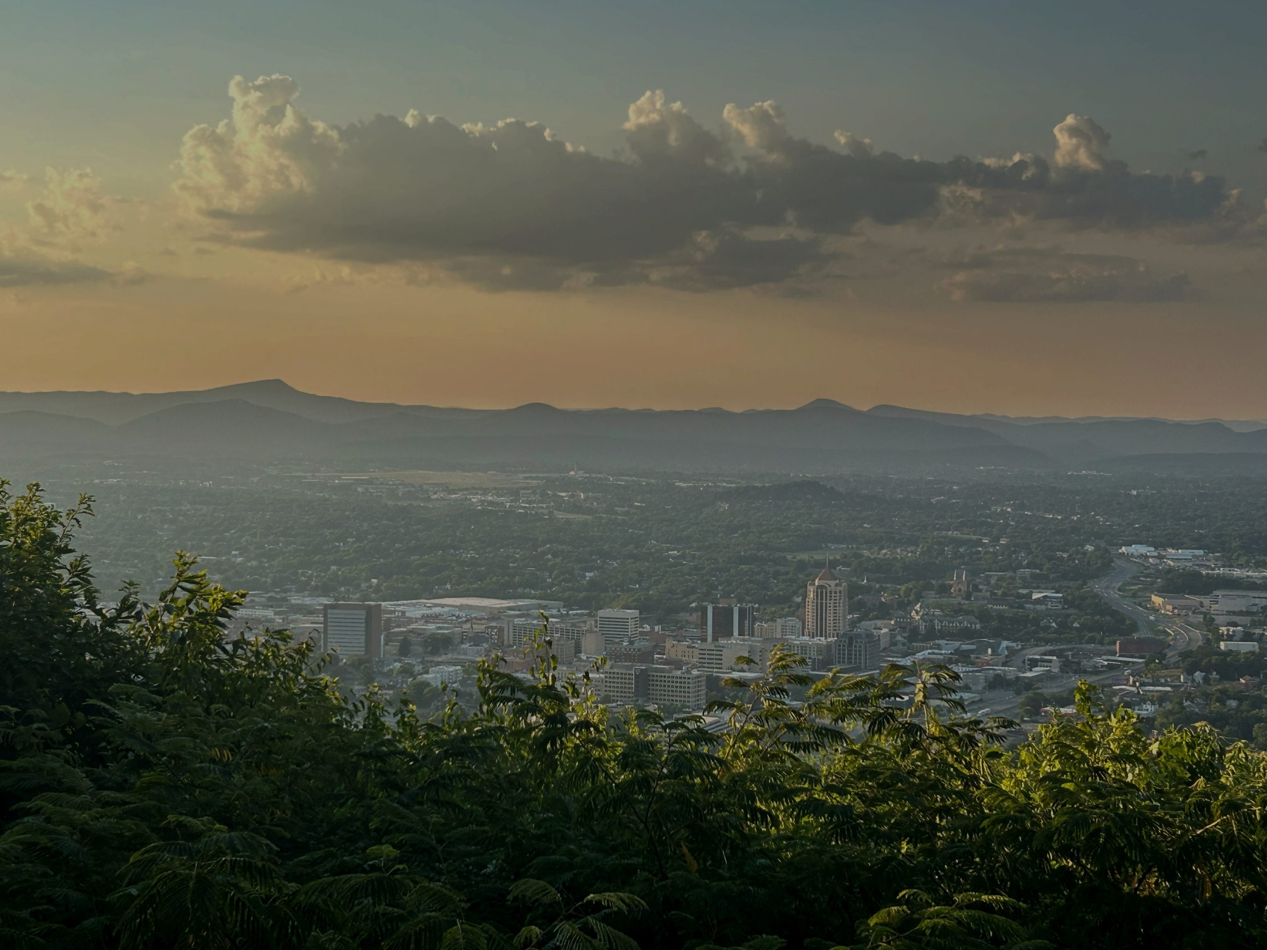
No weather event has been as deadly or impactful in the history of the region’s largest metropolitan area, that sprawling across and near the Roanoke Valley, as the Flood of ’85.
The only real competitor would be the December snowstorm of 1890, which dumped 2-3 feet of heavy, wet snow, collapsing so many roofs in Roanoke that the young city’s booming economy went into a tailspin for a decade. At least two people were killed by those collapsing roofs.
About 3,000 homes and 100 businesses were damaged to a tune of $200 million in 1985 (about $600 million adjusted for inflation in 2025) in the Roanoke area, with 10 of the state’s 22 fatalities from the storm occurring in Roanoke, Roanoke County, or adjacent Botetourt and Franklin counties. There were more than 100 helicopter rescues of people stranded on rooftops by rapidly rising waters in the Roanoke Valley.
To this day, as Samantha Verrelli detailed in her Monday article appearing in Cardinal News, much of Roanoke’s commercial, industrial, educational, medical and recreational planning is based on lessons learned in the 1985 flood.
But the Flood of 1985 was also a widespread regional catastrophe.
The Roanoke River at the Walnut Avenue bridge gauge in Roanoke reached a record 23.35 feet, more than 13 feet above flood stage and about 4 feet above that caused in June 1972 by inland effects of Hurricane Agnes. But the James River at Holcomb Rock near Lynchburg also reached a record mark of 42.15 feet, more than 20 feet above flood stage and nearly 7 feet above the previous high mark set with the Hurricane Camille deluge in August 1969.

Camille’s deluge of 1 to 2 feet (possibly 3 feet for some) in 12-18 hours was far more cataclysmic where it poured hardest in Nelson County and nearby parts of other localities, killing well over 100 people. The November 1985 flood, by comparison, was a much more widespread dousing of 6-12 inches over nearly a week (up to 19.17 inches at Montebello, in Nelson County), capped by 1- to 2-inch-per-hour downpours at the end. That funneled more water into the James River watershed than did Camille’s remnants.
And West Virginia was actually hit the hardest in 1985, with 13,000 homes and businesses damaged or destroyed, costing over $700 million in 1985 dollars (near $2 billion today) and 38 people killed. The flood is sometimes called the “Killer Floods of 1985” by our western neighbors.

Not just about the river
An important detail from the Flood of ’85 in the Roanoke Valley is that for all the damage caused by the Roanoke River rising more than 13 feet above flood stage and spreading out to places it had never been seen before and hasn’t since, none of the 10 fatalities linked to the storm in and near the valley were directly attributable to river flooding.
Two of those deaths actually occurred near the James River in Botetourt County, while two more were the result of a tree falling on a moving vehicle in northern Franklin County. The remaining six lives were taken during flash flooding of tributary streams feeding into the Roanoke River. Brown-Robertson Park in Roanoke memorializes two such victims of the flooding, that occurring along Lick Run.
The Flood of ’85 was a record or near-record river flooding episode in many locations, but it was also a horrible flash flooding event, when way too much rain fell way too quickly on soaked ground, high-runoff paved urban environments, and streams already flowing high.

It should be noted that the official gauge at what is now the Roanoke-Blacksburg Regional Airport recorded 4.25 inches in three hours on Nov. 4, 1985, but got 4.27 inches in a couple hours on Aug. 21 this past summer, a downpour resulting from isolated, slow-moving thunderstorms (loosely connected to the backside rotation of distant Hurricane Erin). This past August’s downpour did result in many stranded motorists and swift-water rescues in the city, but no helicopter rescues. Without prior saturated ground and widespread regional coverage of rainfall, the deluge didn’t raise the river substantially or result in as many creeks going rogue, with primarily Peters Creek being affected.
For those locations where the Flood of ’85 still has the top notch on the flood ruler or stands at the top of the list of historic weather mayhem, it will be challenged, equaled or topped someday, a year, decade or half-century from now. No amount of human flood mitigation can prevent that.
But before there is another Flood of ’85, or Helene, or Camille, there will likely be more tightly focused downpours that overflow the neighborhood creek or flood the busy street in rush-hour traffic. And those, while not given a name or as long remembered by as many people, can be, for a short time and limited space, just as deadly.
Other coverage of Flood of ’85 40th anniversary
Forty years after the Flood of ’85, Roanoke is still doing what it can to reduce future flood risk, by Samantha Verrelli
They saw the Flood of ’85, reader stories compiled by Jeffrey Schwaner and Samantha Verrelli
Journalist Kevin Myatt has been writing about weather for 20 years. His weekly column, appearing on Wednesdays, is sponsored by Oakey’s, a family-run, locally-owned funeral home with locations throughout the Roanoke Valley. Sign up for his weekly newsletter: